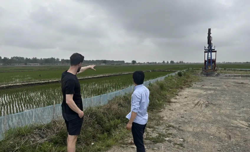
“The dominant policy strategy is to develop coastal areas, then protect the land with, for example, sea walls. However, this approach is risky as these protections often fail to follow standards or may not hold against extreme sea levels during storms,” says Murray Scown, associate senior lecturer at Lund University Centre for Sustainability Studies, LUCSUS, and one of the authors of the study.
More than 700 million people live in China’s coastal zone which includes megacities like Shanghai, in the Yangtze River Delta, with a population of almost 25 million, Guangzhou, a trade city in the Pearl River Delta, with roughly 19 million people, and the northern city Tianjin, which is home to roughly 14 million people.
Across the world, coastal zones are on the front line of climate change. Increasing temperature drive sea levels higher, and more intense storms can cause extreme events, resulting in dangerous floods. Human activity such as groundwater extraction also makes much coastal land sink relative to sea level, further exacerbating the risk of floods. At the same time, coastal cities are key hubs for global trade and have for centuries been heavily developed - placing people, infrastructure and assets in harm’s way.
The study, published in Nature Climate Change, establishes a novel assessment method to analyse flood risk scenarios in China’s coastal zone from 2020 all the way up to 2100. For the first time, researchers integrated data for three major drivers impacting flood risk exposure: coastal policies for economic development and ecosystem preservation, which affect land use change (including urbanisation, agricultural contraction, and ecosystem protection); climate factors (sea-level rise, storms), which interact with tides to affect extreme flood events; and land subsidence, which is driven by physical characteristics of the coast as well as climate and human factors. The combined data was then assessed against different IPCC climate scenarios to identify potential flood risks and their drivers.
Integrated model to assess flood risk
Using this model, the researchers identified that coastal land policies affect exposure to flooding much more than climate threats. By merging high-resolution land use data with policy analysis, they were able to model how coastal land policies at different levels of government - local, regional, and national - drive development and urbanisation in coastal areas. They further identified four hotspots as being most at risk for floods. These places are both highly urbanised and very low lying: the three deltas of the Pearl, Yangtze, and Liaohe Rivers, as well as the Bohai Bay.
“Up to now, researchers have looked at one or two drivers at a time, for example the effect of sea-level rise and storm surges. By combining all three, we can show that while climate threats largely determine where could be flooded, coastal policies determine what could be flooded. In other words: will houses and people be at risk, or agricultural land, or nature reserves?”
Murray Scown notes that these findings are very positive as they highlight how strategic coastal planning can make a big difference for how to handle the impacts of floods.
Many ways to manage flood risks
He explains that there are many ways governments and local authorities can protect cities and communities from flooding.
For example, by creating urban landscapes like parks that can be periodically flooded without harmful consequences and used for recreation when water levels are low. Sea walls are another alternative, but over-reliance on these structures can lead to further problems in the future and, in many parts of the world, sea walls are often built to poor standards, despite regulation.
More broadly, spatial planning to avoid development in high-risk zones is important; and generally reducing carbon emissions is necessary to avoid accelerating sea-level rise, which could become the dominant risk factor beyond 2100, not just in China, but globally.
"In any country, China included, there can be tensions between local, regional and national interests. There is also tension between the need for economic development and ecosystem protection and climate action. Yet, there are many low hanging fruits; one of them is to ensure standards are met for sea walls, another is to ensure flood risk assessments are integrated into spatial planning,” says Yafei Wang, associate professor at the Institute of Geographic Sciences and Natural Resources Research, Chinese Academy of Sciences.
Yafei Wang was formerly a visiting scholar at LUCSUS, with expertise in social-ecological systems modelling and scenario planning, and he led the development of the scenario framework used in this study.
Aims to encourage widespread use of integrated models
The study is the result of a successful collaboration between Scown, Wang, and other researchers in Sweden, China, the UK and the Netherlands. The team hopes that the study can encourage the widespread use of integrated assessment models to analyse future flood exposure. This approach can identify which drivers are most important for managing risk, and how they interrelate. They can also help identify where power and agency to mitigate and manage risks lies.
“Climate-smart policies and plans that consider the multiple interacting risk factors can greatly reduce how climate change impacts coastal areas. We hope this study underscores that," says Muray Scown.


